B01GZ7A9Y8 The John Muir Trail and the High Sierra, Letterpress Map Unframed Print
$30.00
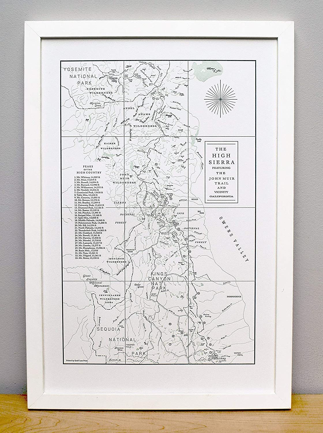
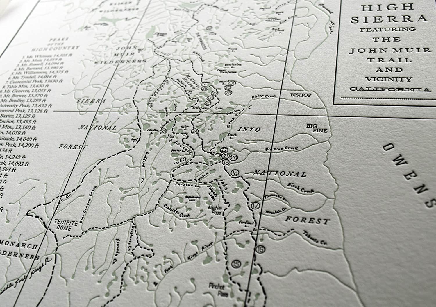
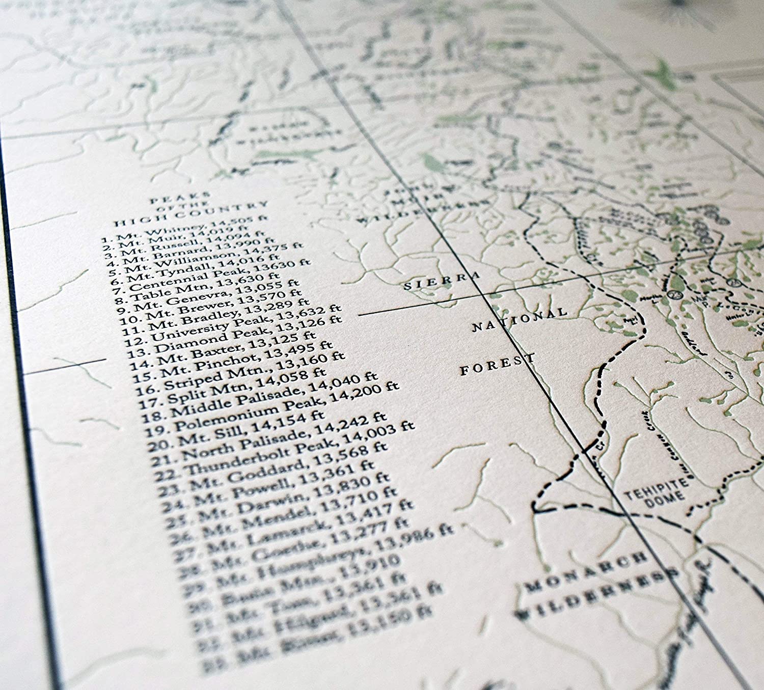
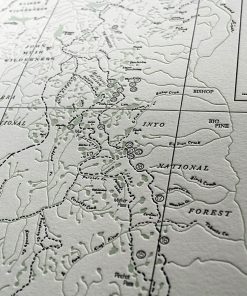
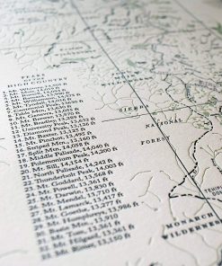
The High Sierra of the Sierra Nevada mountain range is well known for its spare beauty of granite peaks, gnarled timberline conifers and clear alpine lakes. This map of the high country revolves around the famed John Muir Trail (JMT), a 210 mile trail along the Pacific Crest Trail that spans the distance of Yosemite Valley in the north down to the precipice of Mount Whitney (the tallest peak in the continguous US). We here (me and the hubs) at Quail Lane Press dabble in mountaineering (when we’re not making prints!) so made sure to highlight all the 13ers and 14ers in the vicinity of the trail. It also features Yosemite, Sequoia and Kings Canyon National Parks as well as tons of streams, rivers, canyons and passes. It was hand-drawn and printed in two colors, dark grey and sage, on our letterpress. This is the perfect companion to our Yosemite Map, printed in the same ink colors and paper. Printed on beautiful pearl white, 100% cotton archival 12 x 18″ paper. Sold UNFRAMED, but easy to frame (fits in a standard framed size). Signed and dated. SHIPPING This map will be carefully packed in a cellophane sleeve, nestled between two pieces of sturdy cardboard, and shipped in a firm flat mailer. I will ship this piece USPS priority mail which typically takes 3 to 4 business days to arrive. We make all of our prints in our studio in Milwaukie (just outside of Portland) Oregon. We use our antique letterpress to make all of our products. Letterpress printing is an older method of printing that has now been rediscovered for its beauty in creating art. It’s a craft that is much more time consuming than digital printing but is a labor of love!
Related products
Uncategorized
Uncategorized
Uncategorized
